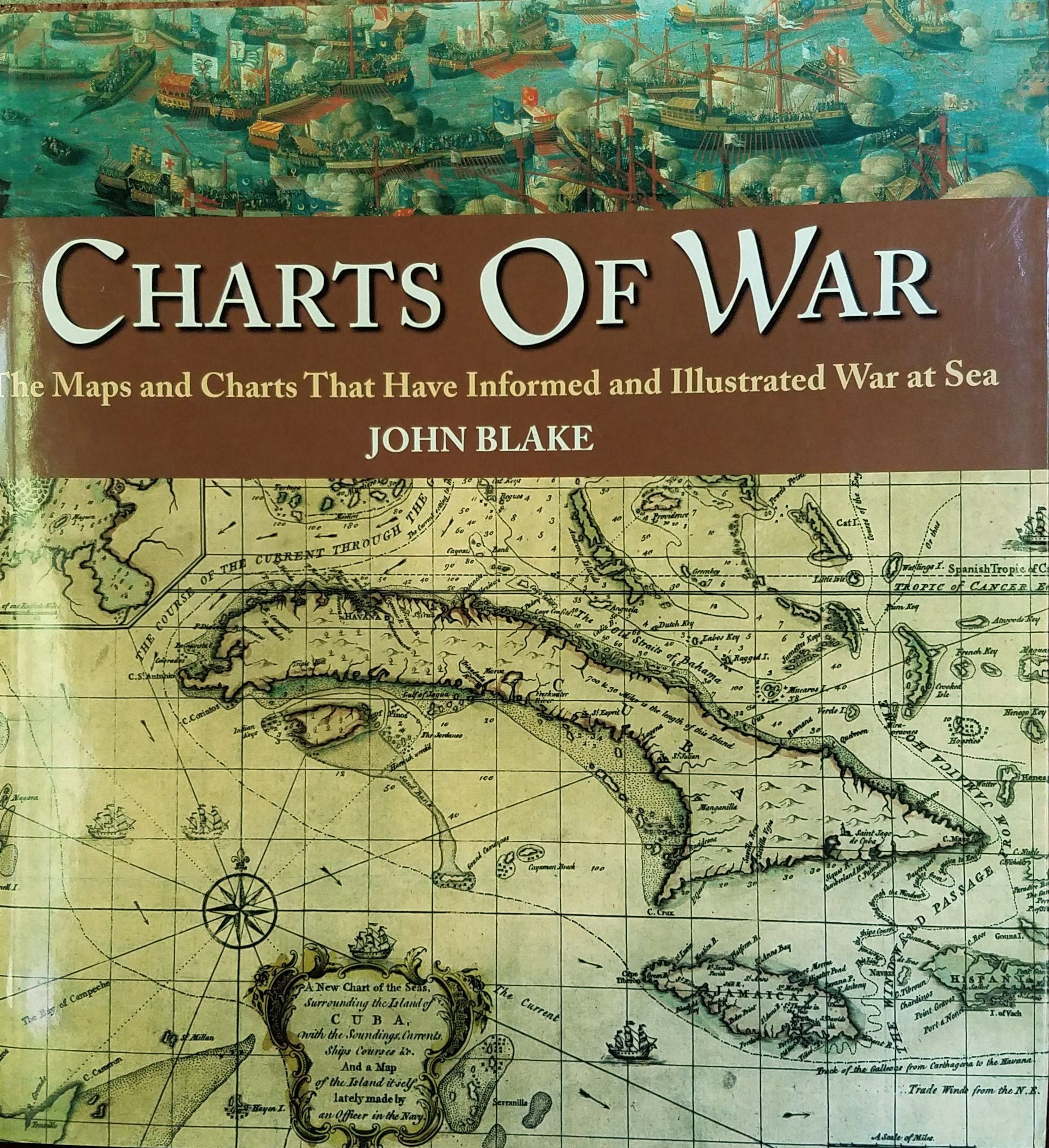
Charts of War: The Maps and Charts That Have Informed and Illustrated War at Sea.
SKU: 12277
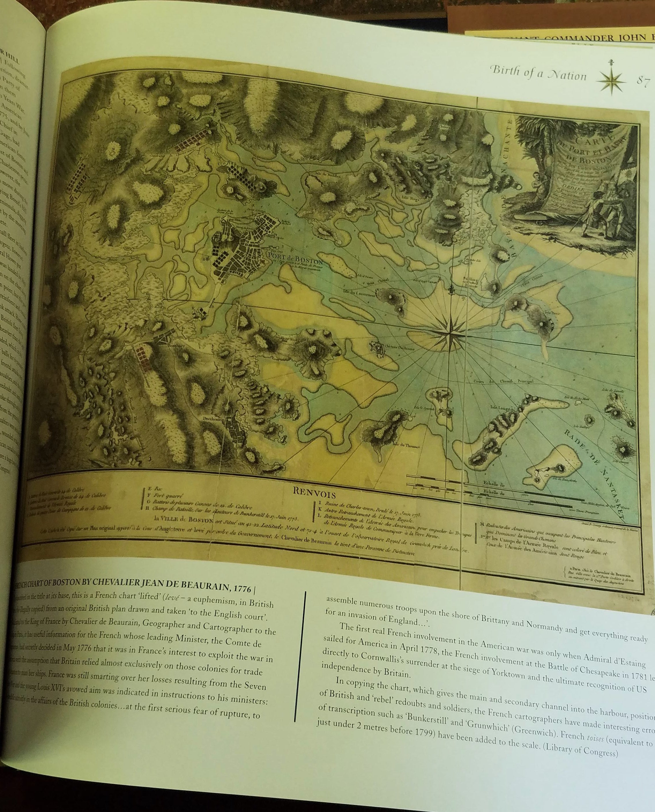
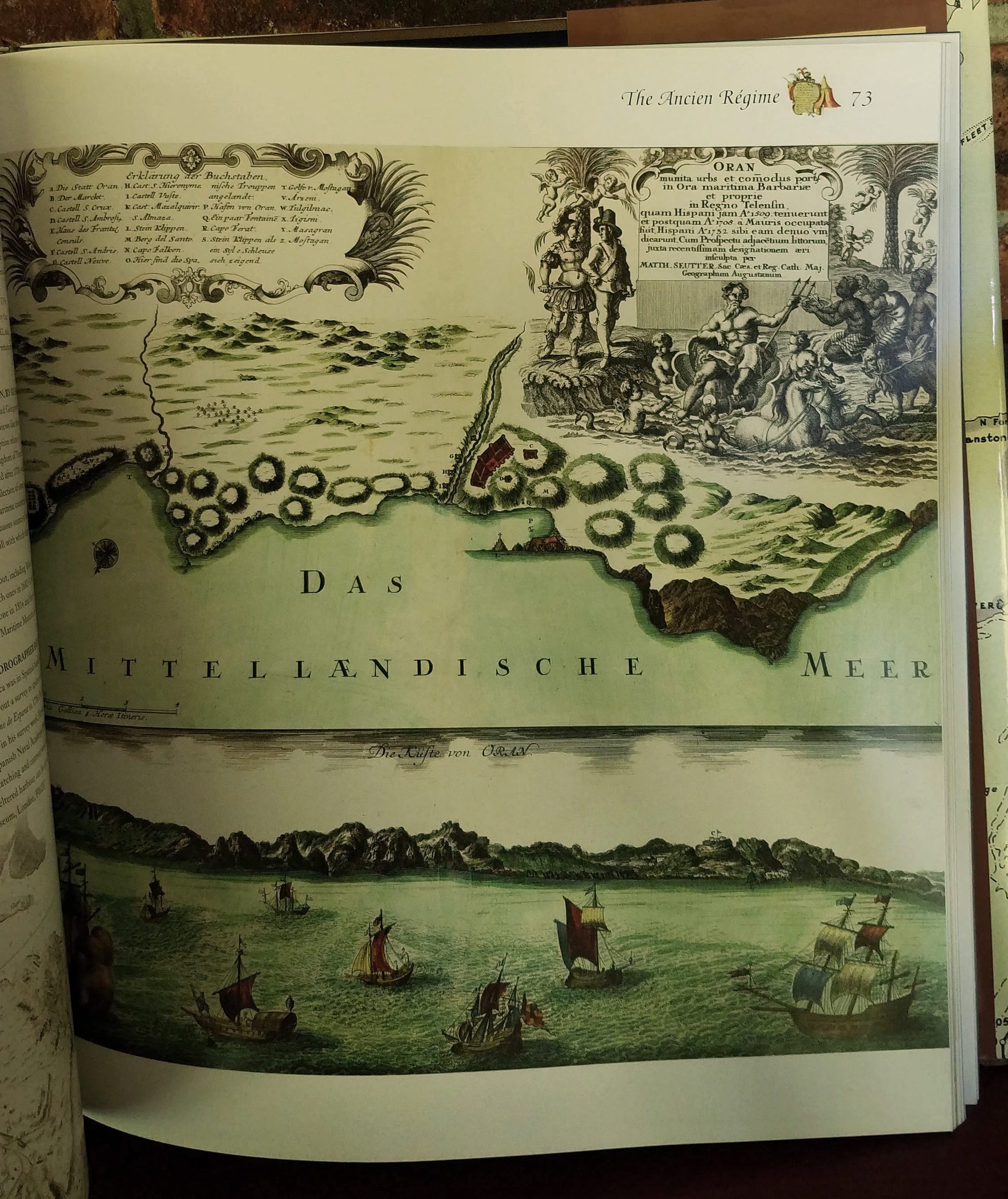
Large 12 X 11 1/2 " beautiful book. Every page is a treasure. Ranging from the 14th century to the Falkland Islands in the 1990's, these color charts and maps of sea battles show how our method of mapping has changed. One thing has remained constant - the mapmakers always ensure their maps are as beautiful as they are useful. Knickerbocker Press, NJ. Hb, dj. NEW. $20.00
$20.00